Practical
information
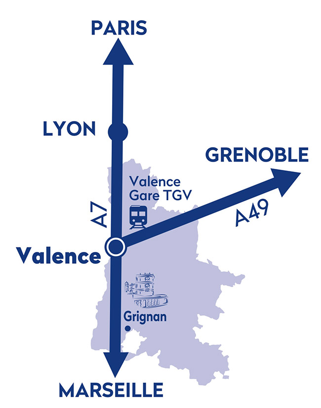
The town of Grignan is located between Montélimar and Nyons, 26 km from Montélimar, 74 km from Valence and 80 km from Avignon.
Getting here
By road
From the north: A7 motorway, exit 18 Montélimar Sud, then follow Nyons (D133 then D541).
From the south: A7 motorway, exit 19 Bollène, then follow the D26 towards Montélimar. Turn right towards Granges Gontardes, then follow Grignan.
Consider carpooling.
GPS coordinates :
North Latitude : 44.41194 ou 44° 24' 42,984''
East Longitude : 4.90083 ou 4° 54' 2,988''
Parking
Numerous car parks are available close to the village:
Pré Chapouton – Parking St Vincent – Allée du 11 novembre (west entrance), Les Grands Prés (east entrance, Taulignan road).
The historic centre is pedestrian-only, to preserve its charm and tranquillity.
Coaches
Allée du 11 novembre, at the west entrance of the village, has designated coach parking spaces.
Motorhomes
Two free parking areas are available in Grignan:
Daytime (limited to 3 hours): Pré Chapouton car park, 26230 Grignan
Overnight: Chemin de Rochecourbière, 26230 Grignan.
By train
Valence TGV station
TER stations: Valence Ville, Montélimar
By train and bus
Montélimar station, with a connection at the bus station.
Où dormir ?
Visit the Drôme c’est ma nature website
See the website